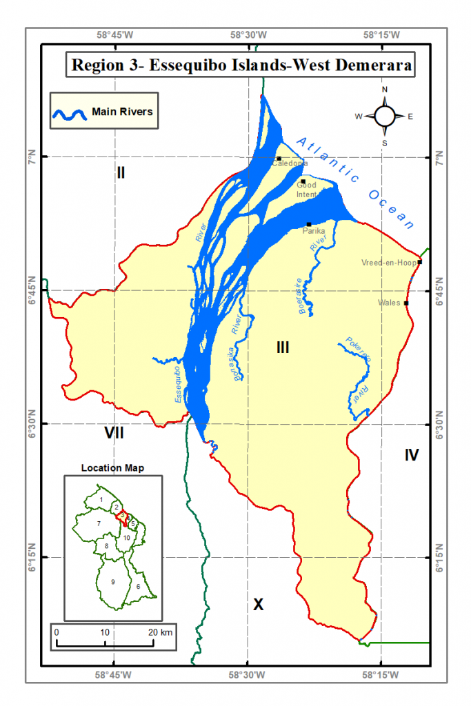
The Essequibo Islands / West Demerara extends from the East bank of the Essequibo River to the West Bank of the Demerara River. The Region has a number of islands at the mouth of the Essequibo River and has an area of 1460 square miles (3770 square kilometers). It comprises of mostly of the Coastal Plain, the Hilly Sand and Clay Region and small portions of the Hinterland Forest Region.
Place Names
- Fort Island (former Dutch capital of Essequibo)
- Wales (Sugar Estate)
- Parika (Village and location of Ferry Stelling for boat transportation)
- Vreed-en-Hoop (administrative center of Region 3)
Economic Activities
- Rice Cultivation
- Beef and Dairy Farming
- Vegetables
Monuments
- Fort Nova Zeeelandia

Location:Fort Island
History: Fort Zeelandia, built in the year 1744 as a brick Fort to defend the interests of the Dutch West India Company against European rivals.